


Available from 27/04/2026
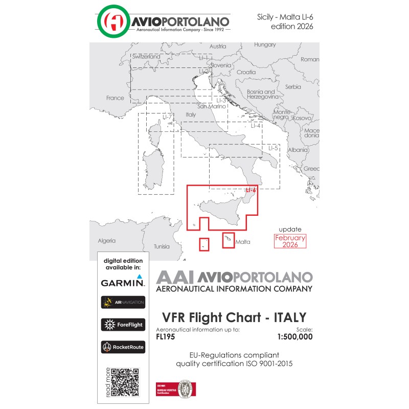
The map includes the islands of Sicily, Malta, Lampedusa, Pantelleria and part of Calabria.
Aeronautical chart title: LI6 - Sicily Malta
Product code: 0098
Publisher: Avioportolano srl
Paper: matte with 12 micron lamination on one side
Language: Italian / English
Update: February 2026
Cartographic basis:© AVIOPORTOLANO® srl - UTM 32N (central meridian 9°, latitude of origin 32°)
Standard: ICAO (International Civil Aviation Organization) “International Standards and Recommended Practices - Annex 4 Aeronautical Charts”.
Certification: ISO 9001: 2015 - AIS (Air Information Service) issued by Bureau Veritas on 11/30/2019
Meridians and cutting parallels: from the meridian 11°30’ to the meridian 16°30’ and from the parallel 36°30’ to the parallel 39°00’
Number of airports reported: 35
Folds: 8
Data sheet
Available from 27/04/2026
The map includes the islands of Sicily, Malta, Lampedusa, Pantelleria and part of Calabria.